Video white papers
Video white papers
Applications of Sonar Software Tools for Security and Defense
Applications of Sonar Software Tools for Security and Defense: Mosaicking for Hull Inspection, Non‐GPS Navigation, and a Low‐Cost Bathymetry Tool. By: Arjuna Balasuriya, Charles River Analytics Teledyne marine sensors provide data that is...
Video white papers
Vehicle-Borne Sonar for Unmanned Harbor Security
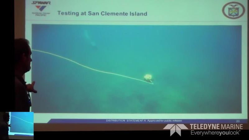
Presenter: Thomas Pastore, SPAWAR SSC Pacific has led the development of a two-vehicle unmanned system for the purpose of inspection and identification of underwater threats in ports and harbors. The system consists of a 4-meter catamaran...
Video white papers
TMTW 2015: NOAA’s Recent Field Testing of the Teledyne RDI Sentinel V ADCP
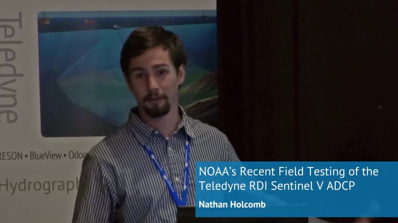
NOAA’s Recent Field Testing of the Teledyne RDI Sentinel V ADCP Presenter: Nathan Holcomb NOAA The National Oceanic and Atmospheric Administration’s (NOAA) Center for Operational Oceanographic Products and Services (CO-OPS) currently...
Video white papers
TMTW 2015: Three Month Continuous Measurement of Waves off the West Coast of Ireland During the...
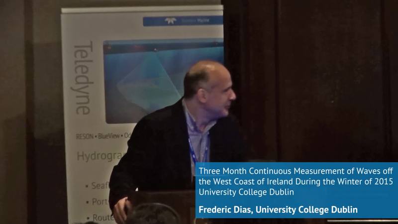
Three Month Continuous Measurement of Waves off the West Coast of Ireland During the Winter of 2015 University College Dublin Presenter: Frederic Dias University College Dublin The WAVEMEASUREMENT project is linked to the ERC Advanced...
Video white papers
CARIS Onboard - near real time hydrographic data processing
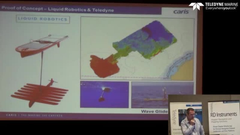
Near real time hydrographic data processing using CARIS Onboard with Teledyne Marine multibeam echo sounders. ScopeCARIS company backgroundThe Challenge of Current Data HandlingIntroduction to the CARIS Onboard software packageHow CARIS Onboard...
Video white papers
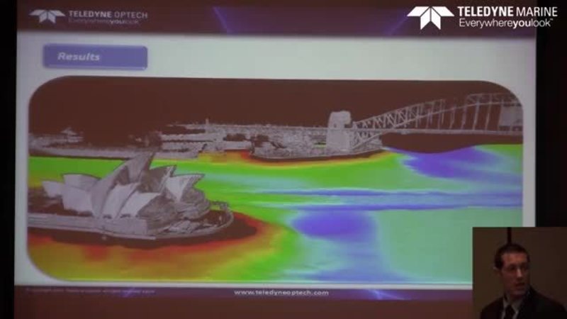
Combined Laser/Multibeam Sonar Survey of Sydney Harbor
By Dario Conforti - Teledyne Optech Combined Laser/Multibeam Sonar Survey of Sydney HarborTeledyne Optech has been a world leader in the design, development and manufacture of advanced lidar instruments for 40 years. In the last few years Teledyne...
Video white papers
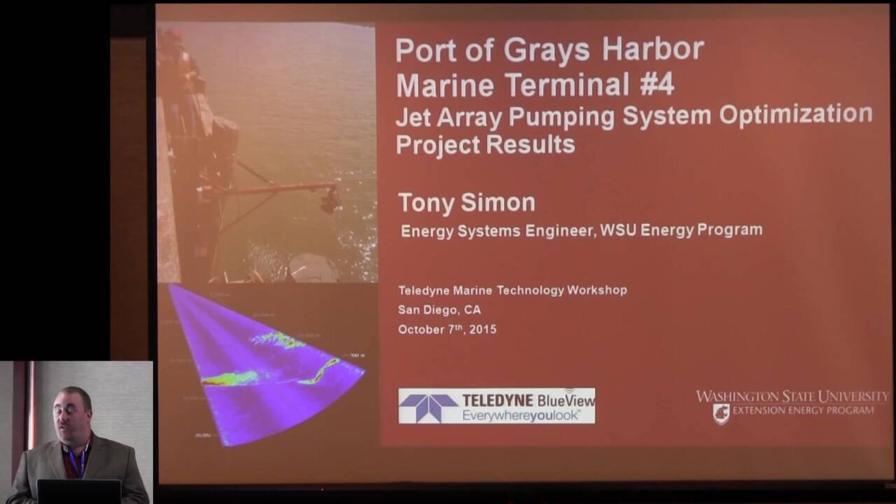
So You Want to Save Energy:
A Unique Application of BlueView 3-D Multibeam Sonar Technology and Best Practices to Optimize Sediment Removal Operations at Port Facilities. Presenter: Tony Simon Washington State University Energy Program
Video white papers
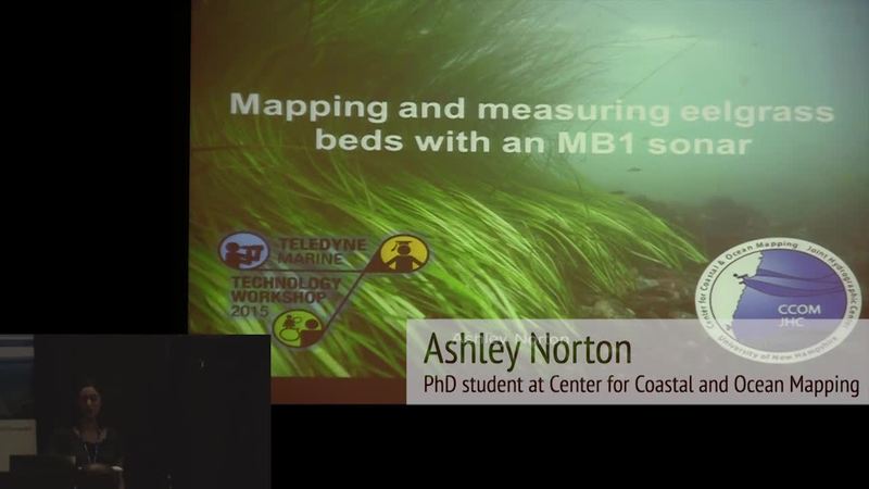
Mapping and measuring eelgrass beds with an MB1 sonar
This presentation was given at the Teledyne Marine Technology Workshop in San Diego 2015 by Ashley Norton from Center for Coastal and Ocean Mapping Eelgrass plays many important roles in temperate coastal ecosystems, including as habitat for many...
Video white papers
Combined Bathymetry & Laser Surveys [Developing a Robust Workflow]
Duncan Mallace from MMT presents some of the newest workflows that can be applied when doing combined Multibeam Echosounder and Laser surveys.
Video white papers
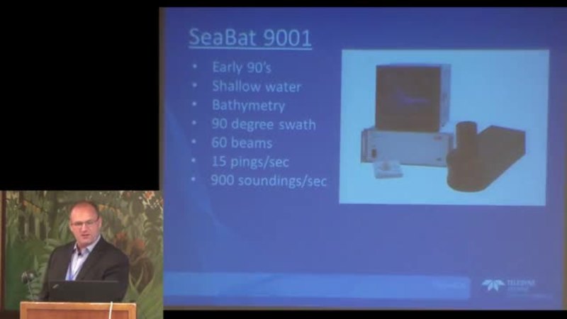
The history of the SeaBat Sonar
Uni Bull, Senior Product Manager at Teledyne RESON, guides you through the evolution of the SeaBat sonars, starting with the first commercial forward looking sonars from the early 90′s to the newly released SeaBat T-series multibeam echosounders....
Video white papers
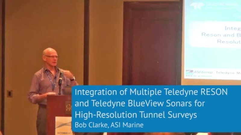
Integration of Multiple Reson and BlueView Sonar
The La Higuera project is co-owned by Pacific Hydro and SN Power and located approximately 150 km south of Santiago, Chile. The headrace tunnel known as the Tinguiririca Tunnel is 18 km in length and was constructed using drill and blast...
Video white papers
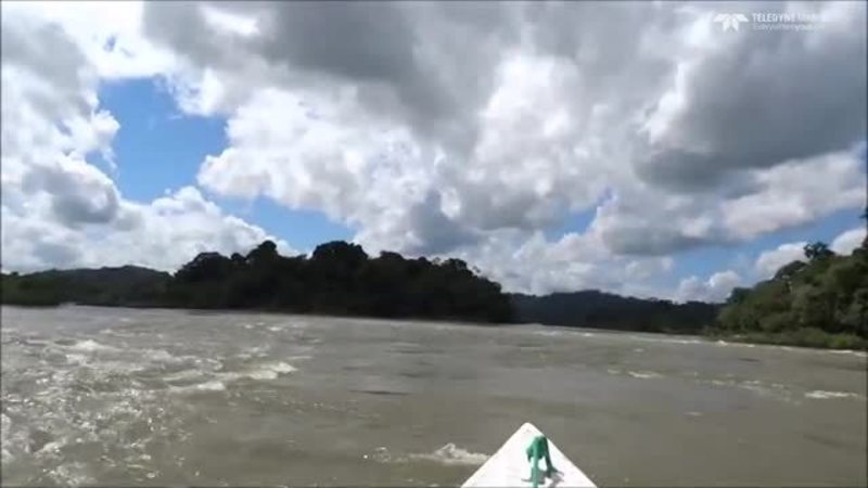
Dual Head Multibeam bathymetry mapping riverbed structures and morphologies of Tapajós River...
Along the years, Rural Tech Company has realized a series of surveys of all kind in the Amazon region, especially in Tapajós River. One of the areas that has been studied since 2006 is São Luís do Tapajós in Pará state, near Itaituba city. There,...
Video white papers
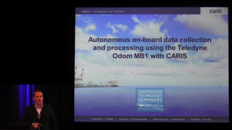
Autonomous on-board data collection and processing using the Teledyne Odom MB1 with CARIS
Michael Redmayne from Caris gives his view on the usage of Autonomous Surface Vessels from the Underwater Technology Conference held in Boston, September 2014. How are the dynamics of survey platforms changing? Are we seeing a shift into using...
Video white papers
Surveying, Dredging and Monitoring Fluid Mud in a Commercial Port
At our Underwanter Technology Seminar (UTS) in Hamburg, September 2014, Deputy Haven Master (Conservancy) Port of Bristol, Mark Burrows presented how the Port of Bristol deals with large amount of fluid mud in the port area with the following...
Video white papers
Sea and Airborne Laboratory for Canada’s North Hydrographic Surveying
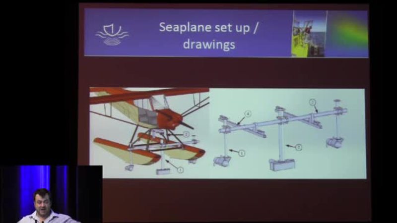
At UTS14 in Boston Mathieu Rondeau from CIDCO and Olivier Ayotte from Geosphair Aviation made a presentation on how to survey the most northern parts of Canada using a plane with an onboard Multibeam Sonar.
Video white papers
High-quality surveys of man-made structures as an aid to improved decision making
By Stuart Leather, Business Development Director, ADUS, DeepOcean
Video white papers
Offshore wind parks: Solutions during wind park’s life-span
Presentation given by Nico van Woerkom, Commercial Director, Teledyne-RESON BV at the Underwater Technology Seminar 2014 in Hamburg. Learn more about Teledyne Marine dredge and construction solutions
Video white papers
Placing caissons the most accurate way using a range of sensors
A case study from Venice, by Nico van Woerkom, Commercial Director, Teledyne RESON BV presented at The Underwater Technology Seminar in Hamburg 2014. Learn more about Teledyne Marine dredge and construction solutions
Video white papers
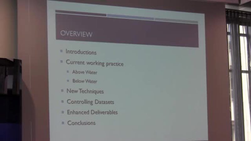
New Techniques for Bridge and Structure Inspection
“Combining Scanning Sonar, Laser Scanning and Mobile Mapping to Provide New Techniques for Bridge and Structure Inspection.” By Tom Card, LandScope Engineering Ltd Summary of paper: With regards to bridges and other underwater structures,...
Video white papers
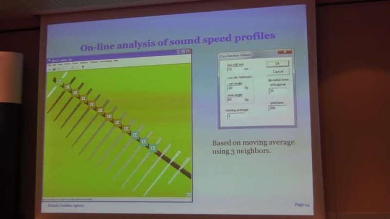
The benefits of online analysis of sound speed profiles during data acquisition
By Hydrographic surveyor - Morten Sølvsteen, Danish Geodata Agency Presentation outline The two major uses of the ”skeleton” 1) Line planning Line planning for more efficient surveys. 2) On-line analysis of sound speed profiles during data...
Video white papers
Video paper: Pipeline surveying from a surface vessel in the Caspian sea
Surface Vessel Based Multibeam Pipeline Inspection In a special collaboration between BP, Fugro Caspian and Teledyne RESON an unconventional approach was used to survey pipelines in the Caspian Sea. A vessel was outfitted with two pole mounts...
Video white papers
Surveying in the most remote place in the world, Antarctica
Navigation data is poorly available in Antarctica. If navigational data is available it often dates back to the early 1900s with many lead line surveys. An initiative was undertaken by Stephen Wilkins of Xplore Expeditions to collect bathymetry...
Video white papers
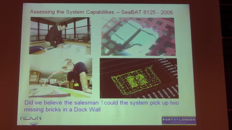
Hydrographic Case studies from The Port of London, part 2 - Getting it together
Getting it together - Hydrographic Case studies from The Port of London - part 2 Watch part 1 Presented by John Dillon-Leetch, Deputy Port Hydrographer, Port of London Authority at the RESON User Conference in Istanbul 2012. Read about the 2013...
Video white papers
Hydrographic Case studies from The Port of London, part 1 - Getting it together
Getting it together - Hydrographic Case studies from The Port of London - part 1 Watch part 2 Presented by John Dillon-Leetch, Deputy Port Hydrographer, Port of London Authority at the RESON User Conference in Istanbul 2012. This presentation...
Video white papers
From wrecks to icebergs
Duncan Mallace, Managing Director of NetSurvey Limited, UK speaks at the RESON European User Conference 2012 in Istanbul. The presentation covers the following topics: • Introduction to MMT • Operation Gooseberry – surveying the D-Day Harbours...
Video white papers
3D Visualization of Gulf of Mexico Seafloor Features
3D Visualization of Gulf of Mexico Seafloor Features and Submerged Platforms with High-Resolution Multibeam Sonar By Eric M. Fischer, Geophysicist, Marine Surveys, LLC at the 2012 US RESON User conference. Get more information about the RESON...
Video white papers
Multibeam project planning considerations by Juan Gardner, Fugro
Juan Gardner of Fugro Pelagos, Inc. discusses Multibeam project planning considerations at the 2012 US RESON User conference.
Video white papers
Comparison of Wreck Surveying Techniques
Presentation from RESON User Conference by David Parker, UKHO "Comparison of Wreck Surveying Techniques"
Video white papers
Maximising the benefits of multibeam backscatter data
Presentation from RESON OI'12 User Conference by Dr. Craig Brown McGregor GeoScience Ltd. "Maximising the benefits of multibeam backscatter data"
Video white papers
Monitoring and measuring dynamic processes with multibeam sonar.
Presentation from RESON OI'12 User Conference by Prof. Dan Parsons, Uni of Hull: Monitoring and measuring dynamic processes with multibeam sonar.
Video white papers
Collect Once Use multiple times - The Versatile 7125
Presentation from RESON OI'12 User Conference by Duncan Mallace, NetSurvey Collect Once Use multiple times - The Versatile 7125

![Thumbnail for video: Combined Bathymetry & Laser Surveys [Developing a Robust Workflow]](/9826383/10687017/9e4a3abb8fab7bdd40b4869a87652574/large/combined-bathymetry-laser-surveys-developing-a-thumbnail.jpg)
