Tagged with 3d_mechanical_scanning_sonar
Teledyne Marine Webinars
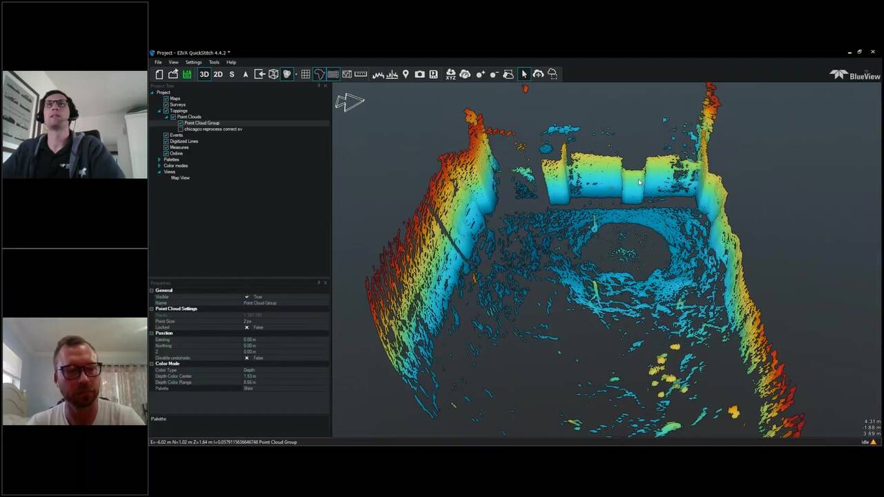
BlueView 3D Training Series: Point Cloud Post-Processing Walkthrough
Trainers: Jon Robertson Tyler Whitaker Teledyne Blueview's 3D Multibeam Scanning Sonar is used around the world to create high resolution, laser-like, imagery of underwater areas, structures and objects of interest, even in low to zero visibility...
Teledyne Marine Webinars
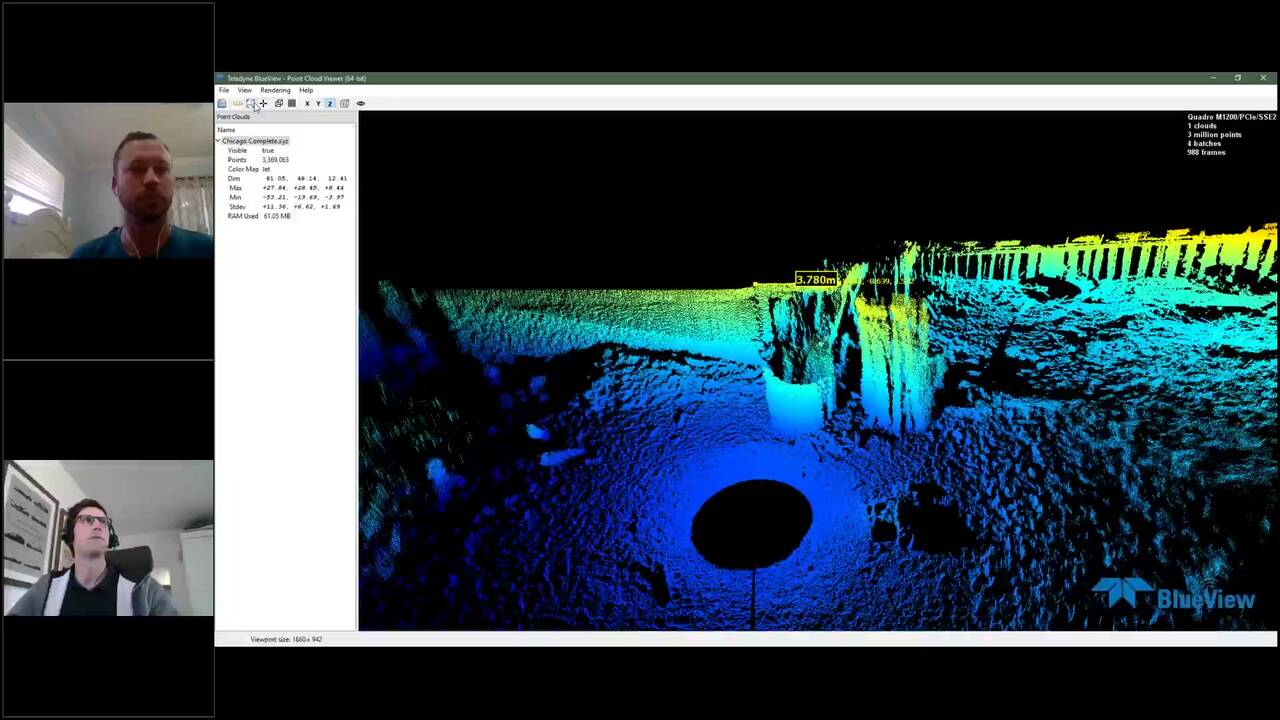
BlueView 3D Training Series: Introduction to Proscan Software
Teledyne Blueview's 3D Multibeam Scanning Sonar is used around the world to create high resolution, laser-like, imagery of underwater areas, structures and objects of interest, even in low to zero visibility conditions. Join our tech gurus Tyler...
Teledyne Marine Webinars
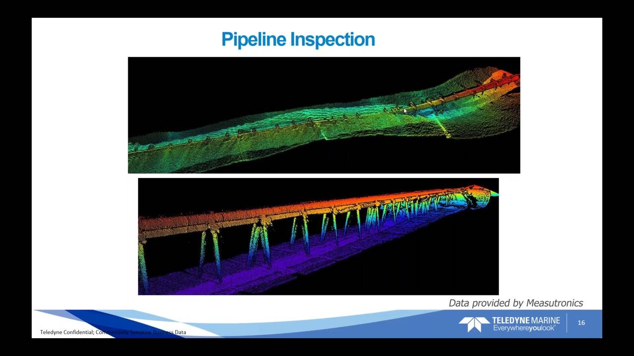
What Can a BlueView 3D Scanning Sonar Do for You?
Teledyne Blueview's 3D Multibeam Scanning Sonar creates high resolution, laser-like imagery of underwater areas, structures and objects of interest, even in low to zero visibility conditions. This highly versatile system is simple to deploy, easy...
Teledyne BlueView
DAM OUTFLOW TUBES INSPECTION
Underwater infrastructures worldwide need to be inspected regularly for problems caused by corrosion, scour, undercut, impact damage and debris. Diving engineers will typically inspect these structures visually when water conditions allow, and by...
Teledyne BlueView
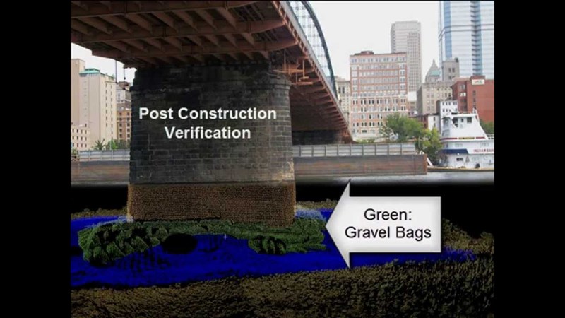
Post construction verification
3D underwater imaging is used frequently to verify construction projects are completed to specification in low to zero visibility conditions. Underwater infrastructures worldwide need to be inspected regularly for problems caused by corrosion,...
Teledyne BlueView
3D Multibeam Scanning Sonar Lock Undercut
Seen: Lock and dam undercut inspection and evaluation for repair planning. Underwater infrastructures worldwide need to be inspected regularly for problems caused by corrosion, scour, undercut, impact damage and debris. Diving engineers will...
Teledyne BlueView
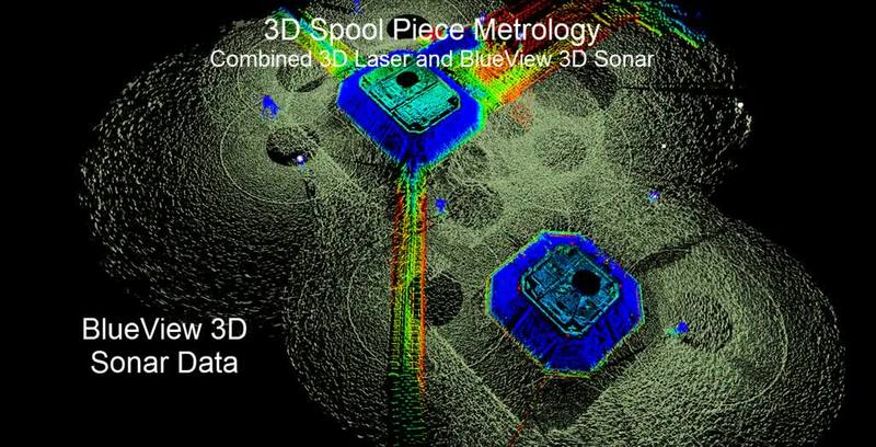
BlueView Spool Piece Metrology
This movie illustrates a novel new underwater measurement system that combines a new acoustic 3D scanning tool underwater combined with 3D scanning laser above water. Quick to deploy and accurate enough to calculate the required angular and range...
Teledyne BlueView
AUV Gap Fill Sonar
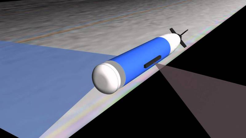
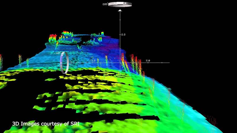
The video clip demonstrates how BlueView’s 3D MicroBathymetry Sensor was adapted byHydroid, Inc. as part of an Atlas Elektronic UK project for the UK Ministry of Defence. TheBlueView MB2250 was integrated into a Hydroid REMUS 100 UUV section to...
Teledyne BlueView
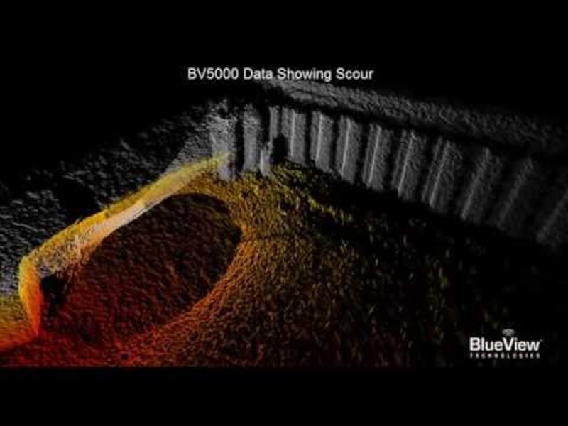
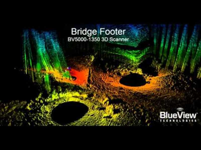
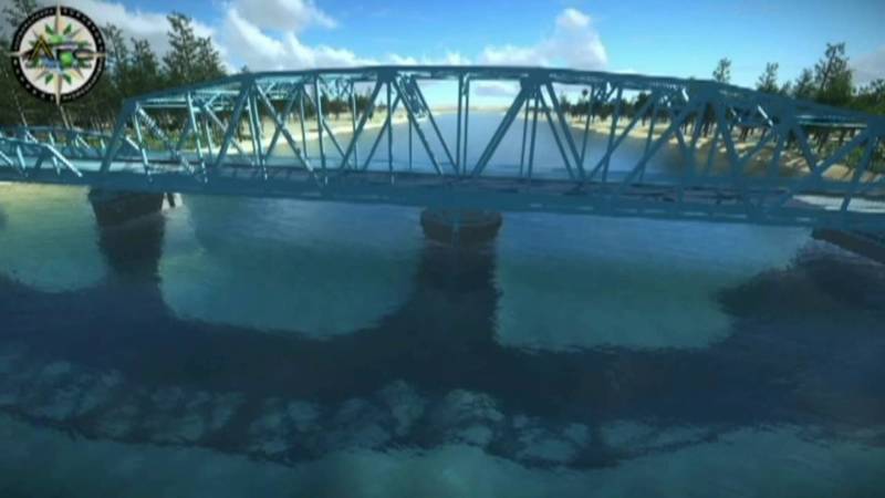
Underwater Bridge Inspection
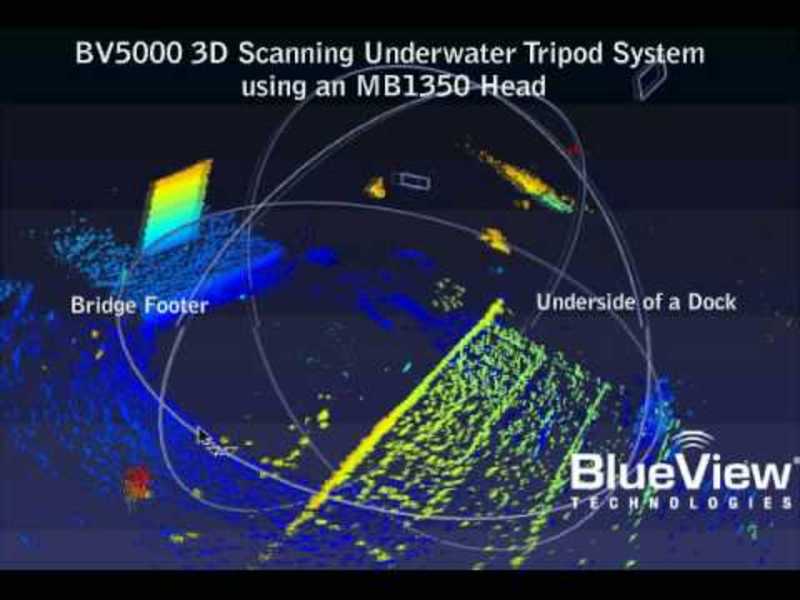
BlueView BV5000-1350 Data on Bridge Footer and Pilings. Inspection data can clearly shows debris, washout, and damage areas. The 3D mosaic was created using 3 overlapping, tripod-based scans and registered with Leica Geosystem's Cyclone...
Teledyne BlueView
Pipeline Tracking
An illustration of Pipeline Tracking, using BlueView Technologies sonar.
Teledyne BlueView
BV5000-3DScan_AJGoddard.avi
Seattle, WA -- The first high-resolution, 3D digital model of a perfectly preserved, 100-year-old steamboat was unveiled today. Using a new sonar scanning system provided by BlueView Technologies and OceanGate, the survey, which would have taken...
Teledyne BlueView
Platform Decommissioning
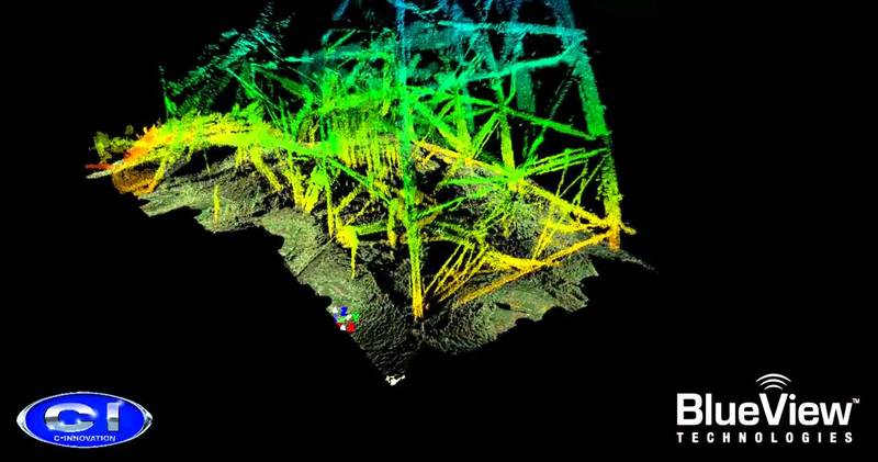
BlueView's BV5000 3D sonar capturing a detailed, measurable image of a downed oil rig.
Teledyne BlueView
BlueView Spool Piece Metrology Testing
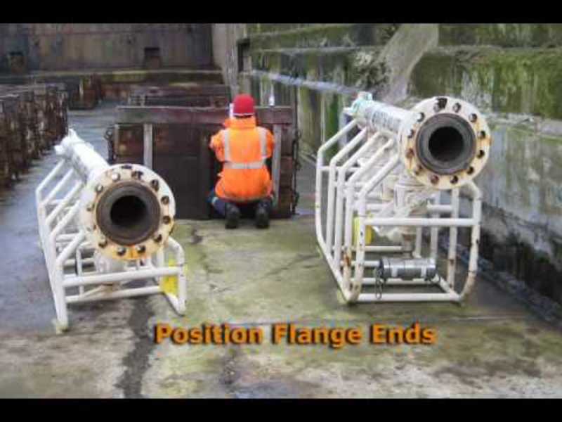
This sonar imagery was taken during spool piece metrology testing in Peterhead Scotland. Pipe Flanges where positioned around an empty drydock, a ground based survey was performed, the drydock was then flooded, and a 3D acoustic scan was made of...
Teledyne BlueView
Flythrough_Rig_CI.wmv
Downed Rig Inspection using BV5000-1350. Multiple overlapping scans were collected from Schilling UHD ROV while station keeping and then registered with Leica Geosystem's Cyclone software without the aid of any position or navigation data.
Teledyne BlueView
BlueView BV5000 Harbor Scan.wmv
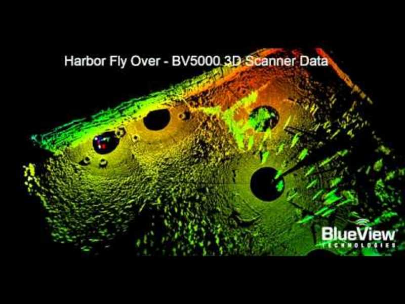
BV5000-1350 3D Acoustic Scanner Imagery of Harbor in Norway 3D Mosaic was created from 5 tripod scans of harbor bottom. Registration was completed using Leica Geosystems Cyclone without any navigation inputs
Teledyne BlueView
BlueView MB1350 Bridge Footer
A BV-5000 tripod system rotational scan with the MB1350 head.
Teledyne BlueView
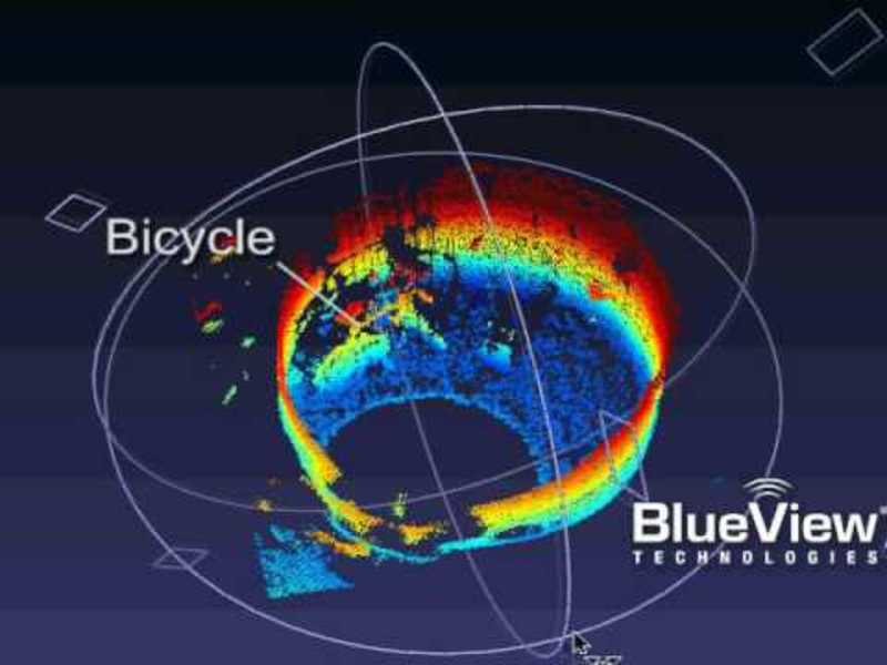
BlueView MB1350 Bicycle in tank
As seen by the BlueView MB1350 3D imaging sonar.
Teledyne BlueView
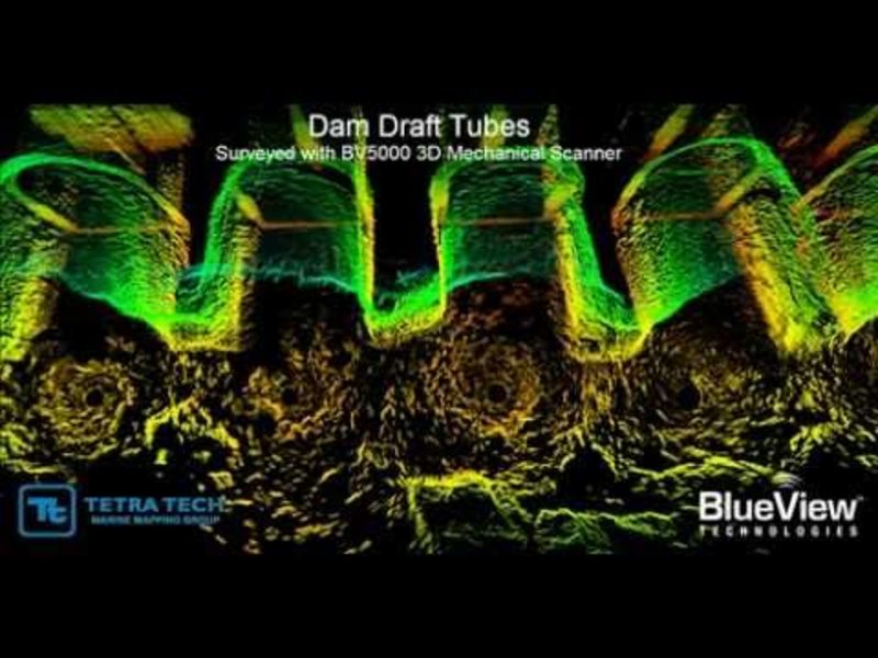
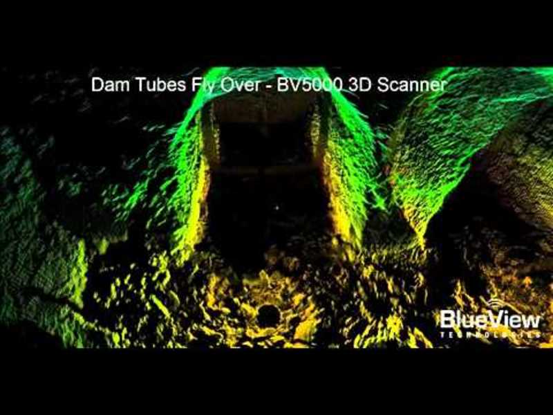
Dam Draft Tubes Flyby
The video clip utilizes actual 3D data gathered with the BV5000 to show the results of aninspection of an upriver dam’s outflow tubes. There were several unique aspects to thisproject, first the remote location of the dam limited access to the...
Contest
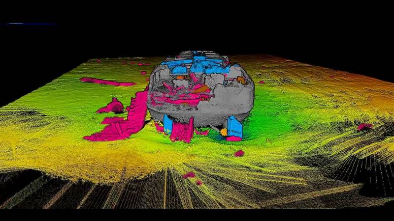
Material Service Barge
The Material Service Barge. Sank in 1936 in a storm in Lake Michigan. Collins Engineers, Inc. provided 3-D imaging services to Indiana Department of Natural Resources: Coastal Protection Program to get a better understanding of wreck's position...

