Teledyne BlueView
Teledyne BlueView
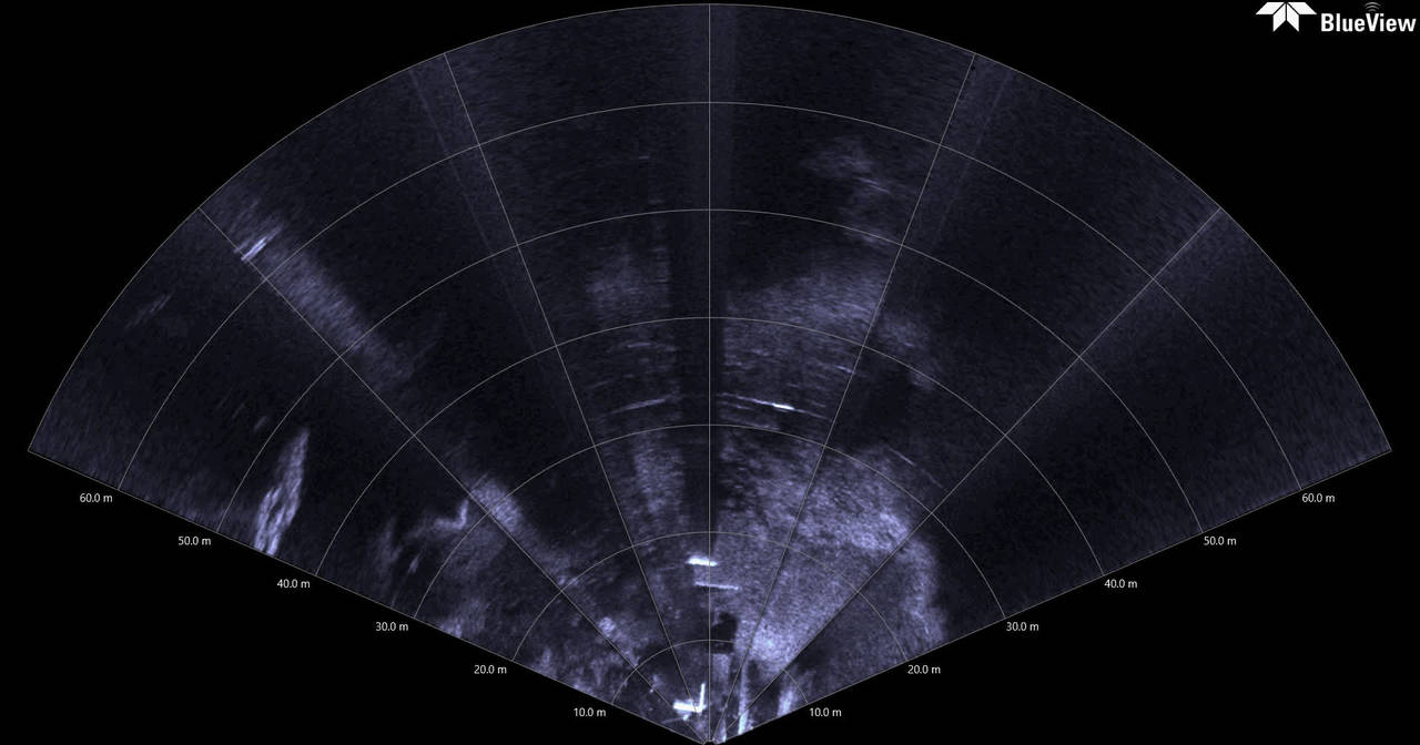
Using the M900-2250-130 2D Imaging Sonar to Inspect Bridge Footings
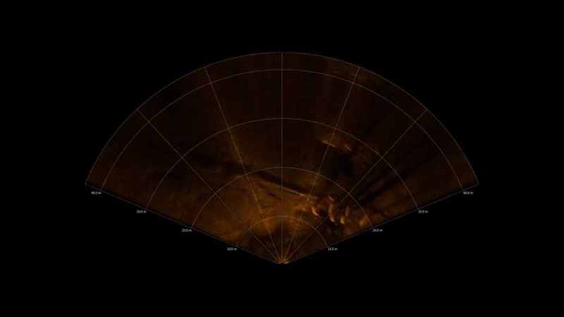
When placed into a vertical orientation, both the high resolution 2250 kHz and long range 900 kHz heads of the M900-2250-130 sonar can easily image the face of bridge footings and vertical structures for potential damage and debris. Learn more...
Teledyne BlueView
Using the M900-2250-130 2D Imaging Sonar to Inspect Bridge Footings (2)
When placed into a vertical orientation, both the high resolution 2250 kHz and long range 900 kHz heads of the M900-2250-130 sonar can easily image the face of bridge footings and vertical structures for potential damage and debris.Learn more...
Teledyne BlueView
Imaging the top of a sunken wooden barge using the M900-2250-130 2D Imaging Sonar
With its high resolution 2250 kHz head, the M900-2250-130 sonar system identifies areas of damage and wood splintering on an old sunken barge. Learn more about the BlueView M900-2250 Dual Frequency Series
Teledyne BlueView
Imaging marine plant life and bridge footings in a harbor using the M900-2250-130 2D Imaging Sonar
With it’s real-time, motion immune imaging capabilities, the 900 kHz head of the M900-2250-130 sonar system captures marine plant life and the underside of a bridge. Lean more about the BlueView M900-2250 Dual Frequency Series
Teledyne BlueView
Imaging the underside of a floating dock with the M900-2250-130 2D Imaging Sonar
Using the high resolution 2250 kHz head of the M900-2250-130 sonar system, a thorough inspection of a dock can be done by deploying from the dock itself. Learn more about the BlueView M900-2250 Dual Frequency Series
Teledyne BlueView
Imaging a moving garden block using the M900-2250-130 2D Imaging Sonar
The high resolution 2250 kHz head of the dual head M900-2250-130 sonar system is used to image an small garden block being rotated and moved along the seabed. Learn more about the M900-2250 Dual Frequency Series
Teledyne BlueView
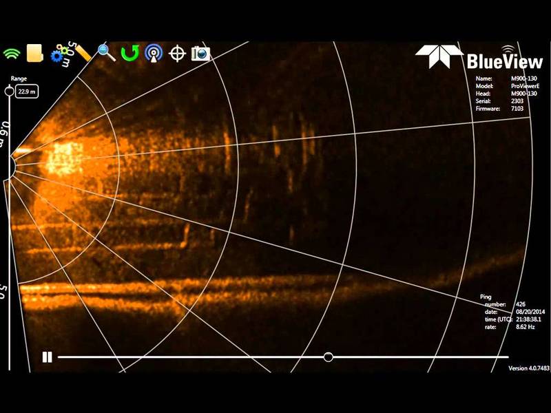
Imaging underneath a bridge using the M900-2250-130 2D Imaging Sonar
Capable of up to 100 m maximum range, the 900 kHz head of the M900-2250-130 sonar system is used to inspect underneath a bridge. Learn more about the BlueView M900-2250 Dual Frequency Series
Teledyne BlueView
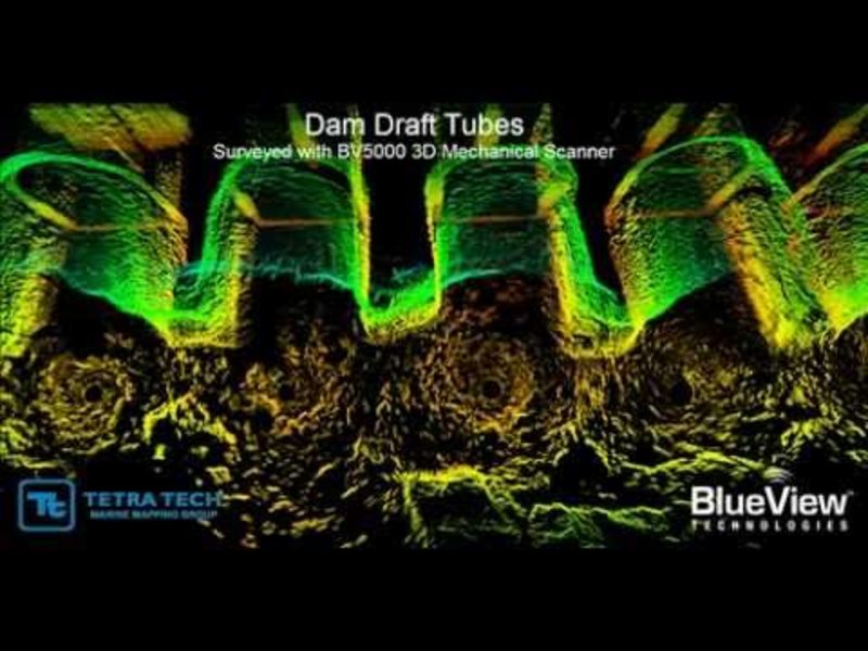
DAM OUTFLOW TUBES INSPECTION
Underwater infrastructures worldwide need to be inspected regularly for problems caused by corrosion, scour, undercut, impact damage and debris. Diving engineers will typically inspect these structures visually when water conditions allow, and by...
Teledyne BlueView
BlueView Arc 3D Bridge Inspection
The data for this bridge inpsection was collected from a tripod deployed BV5000 system from a small boat. Scans were conducted at 3 adjacent locations to provide the final large arae data set delivered to the client. Quote: John F. Sawyer, Vice...
Teledyne BlueView
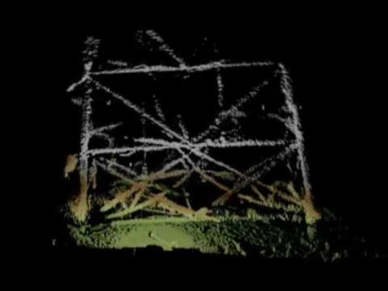
BlueView BV5000 Underwater Inspection of an Oil Platform
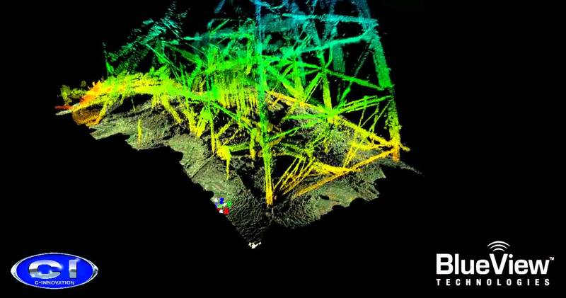
3D Rig VisualizationThis sonar imagery was taken as part of an offshore oil rig decommissioning project. The unique aspect of this job was that other than the 3D mechanical scanning sonar and ROV, no other survey sensors or equipment was used to...
Teledyne BlueView
ROV Based Culvert Inspection
Modern Solution for a Tough JobIn many parts of the world, particularly near large bodies of water, culverts make up a large portion of a city's waterway infrastructure These culverts are responsible for safely moving water under and around other...
Teledyne BlueView
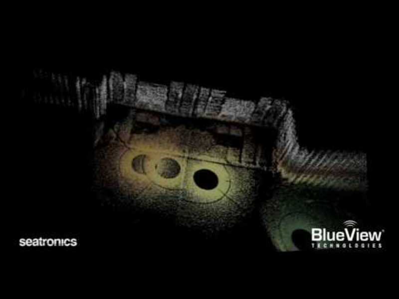
BlueView 3D Scan Drydock Gate
3D Inspections and SurveysThis 3D sonar imagery was taken during a hands-on demo held by BlueView and Seatronics in Aberdeen, Scotland. The high resolution imagery shows the advantages of the BV5000 when used as an inspection/survey aid. In this...
Teledyne BlueView
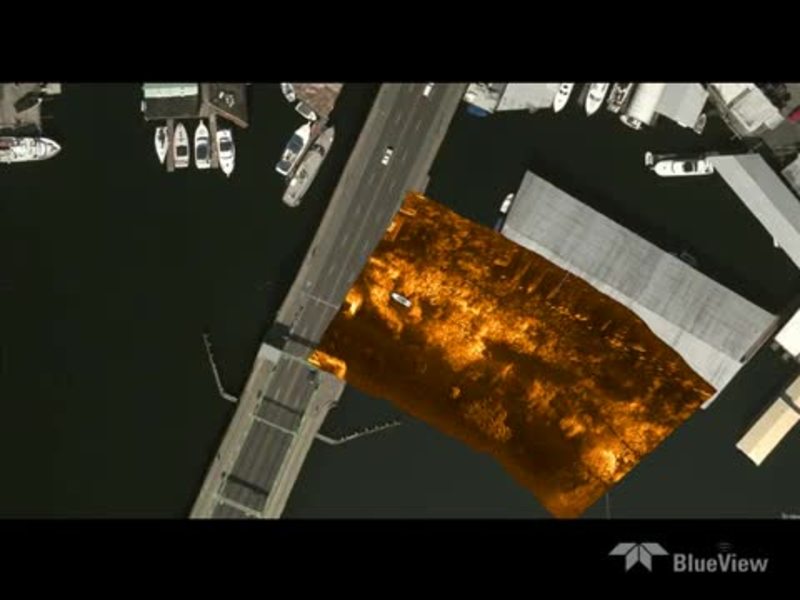
ProMapper Bridge
ProMapper is a geo-mosaicing software package that utilizes the BlueView 2D imaging sonar solution to create maps of areas imaged.
Teledyne BlueView
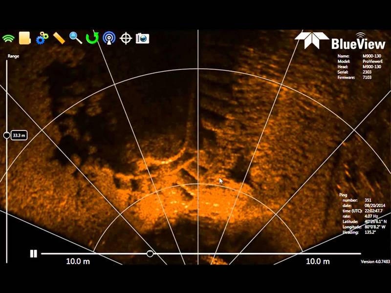
Using 2D sonar to conduct a bridge footer inspection.
Underwater infrastructures worldwide need to be inspected regularly for problems caused by corrosion, scour, undercut, impact damage and debris. Diving engineers will typically inspect these structures visually when water conditions allow, and by...
Teledyne BlueView
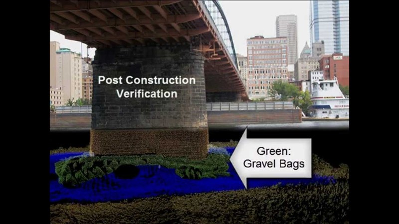
Post Construction 2D inspection
Teledyne BlueView's 2D Forward Looking Imaging Sonar used to image concrete mattress and sand bags on the river bed around a bridge footer to verify the placement is correct according to the contract. Underwater infrastructures worldwide need to...
Teledyne BlueView
Post construction verification
3D underwater imaging is used frequently to verify construction projects are completed to specification in low to zero visibility conditions. Underwater infrastructures worldwide need to be inspected regularly for problems caused by corrosion,...
Teledyne BlueView
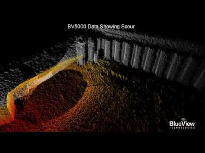
3D Multibeam Scanning Sonar Lock Undercut
Seen: Lock and dam undercut inspection and evaluation for repair planning. Underwater infrastructures worldwide need to be inspected regularly for problems caused by corrosion, scour, undercut, impact damage and debris. Diving engineers will...
Teledyne BlueView
M900-130 Cable Free Span Inspection
Boat mounted M900-130 2D imaging sonar used to inspect communication cable crossing a channel.
Teledyne BlueView
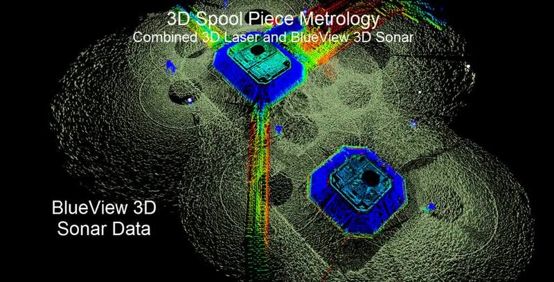
BlueView Spool Piece Metrology
This movie illustrates a novel new underwater measurement system that combines a new acoustic 3D scanning tool underwater combined with 3D scanning laser above water. Quick to deploy and accurate enough to calculate the required angular and range...
Teledyne BlueView
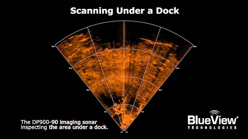
Inspecting under a dock
The BlueView DP900-90 imaging sonar inspecting underneath a dock.
Teledyne BlueView
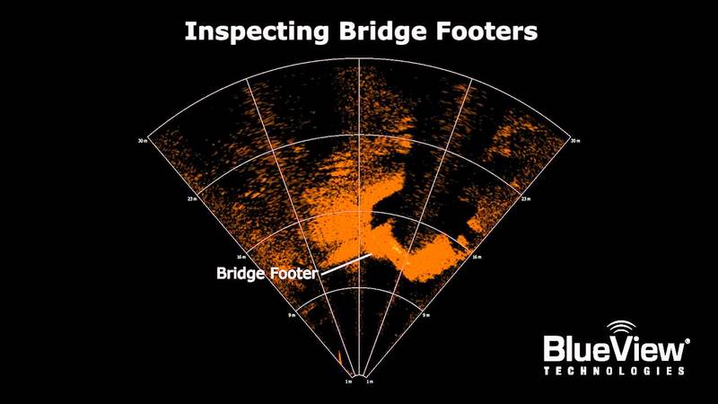
Inspecting Bridge Footers
The BlueView DP900-90 inspecting bridge footers.
Teledyne BlueView
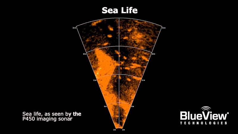
Imaging Fish
The BlueView P450 sonar capturing sea life.
Teledyne BlueView
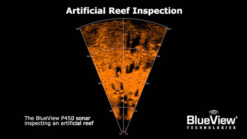
Artificial Reef Inspection
THe BlueView P450 sonar inspecting an artificial reef.
Teledyne BlueView
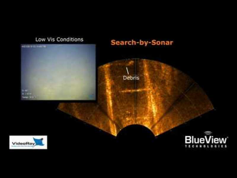
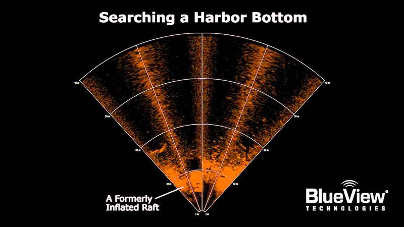
Finding a Raft
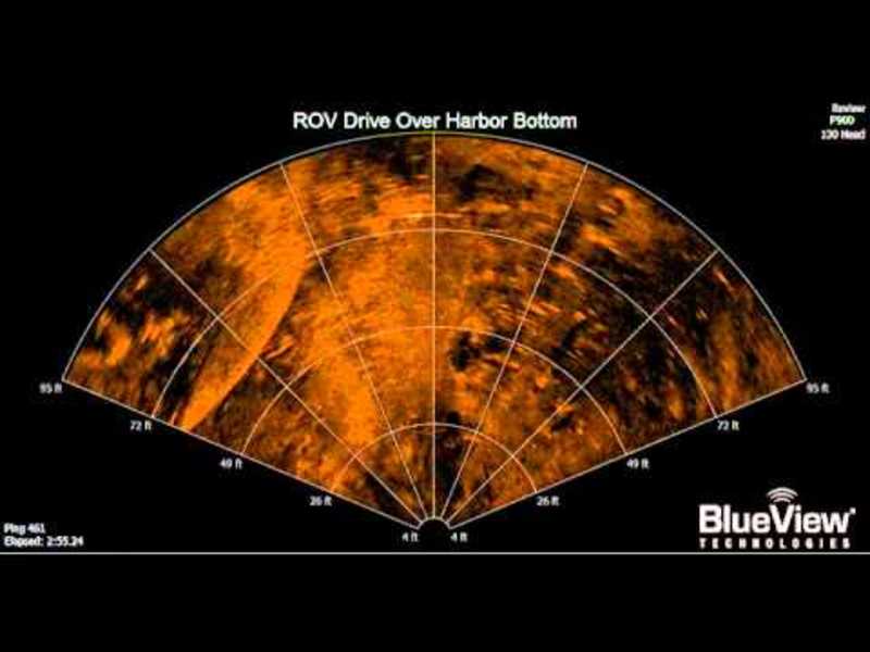
The BlueView DP900-90 imaging sonar searching a harbor bottom for debris.
Teledyne BlueView
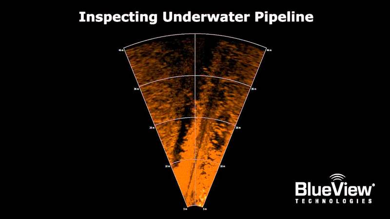
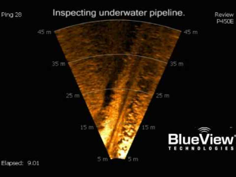
Pipe Survey
The BlueView P450 sonar navigating and inspecting along a pipeline.
Teledyne BlueView
Tracking Divers with Rebreathers
The BlueView P450 tracking two military divers with re-breathers.
Teledyne BlueView
AUV Gap Fill Sonar
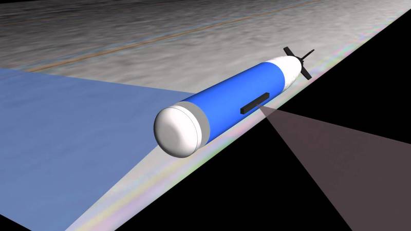
The video clip demonstrates how BlueView’s 3D MicroBathymetry Sensor was adapted byHydroid, Inc. as part of an Atlas Elektronic UK project for the UK Ministry of Defence. TheBlueView MB2250 was integrated into a Hydroid REMUS 100 UUV section to...
Teledyne BlueView
Scour Monitoring
Monitoring the progression of scour at the base of an oil rig jack up leg. With BlueView's BV5000, an accurate and measurable 3D picture of the erosion can be taken, allowing detailed inspection of the erosion.
Teledyne BlueView
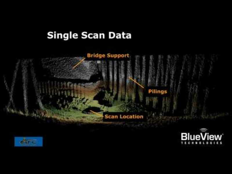
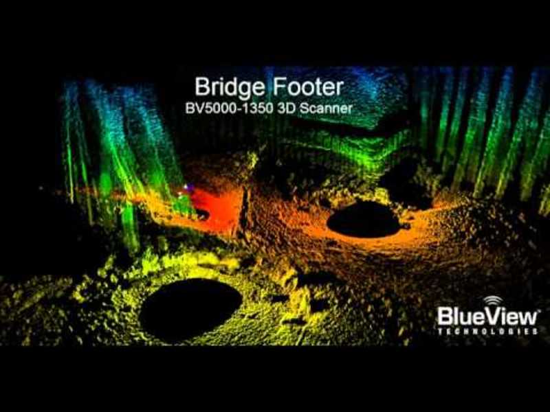
Underwater Bridge Inspection
BlueView BV5000-1350 Data on Bridge Footer and Pilings. Inspection data can clearly shows debris, washout, and damage areas. The 3D mosaic was created using 3 overlapping, tripod-based scans and registered with Leica Geosystem's Cyclone...
Teledyne BlueView
Pipeline Tracking
An illustration of Pipeline Tracking, using BlueView Technologies sonar.
Teledyne BlueView
BV5000-3DScan_AJGoddard.avi
Seattle, WA -- The first high-resolution, 3D digital model of a perfectly preserved, 100-year-old steamboat was unveiled today. Using a new sonar scanning system provided by BlueView Technologies and OceanGate, the survey, which would have taken...
Teledyne BlueView
Platform Decommissioning
BlueView's BV5000 3D sonar capturing a detailed, measurable image of a downed oil rig.
Teledyne BlueView
BlueView Spool Piece Metrology Testing
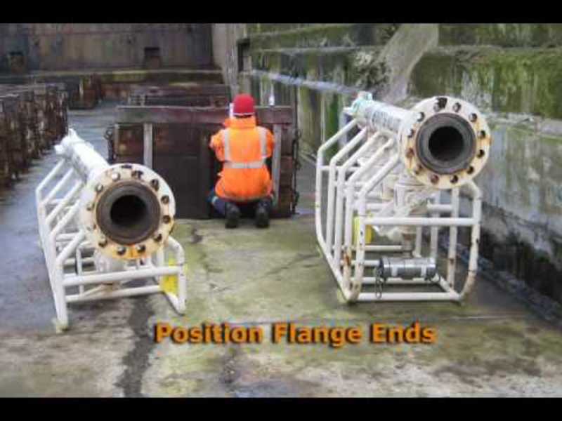
This sonar imagery was taken during spool piece metrology testing in Peterhead Scotland. Pipe Flanges where positioned around an empty drydock, a ground based survey was performed, the drydock was then flooded, and a 3D acoustic scan was made of...
Teledyne BlueView
Flythrough_Rig_CI.wmv
Downed Rig Inspection using BV5000-1350. Multiple overlapping scans were collected from Schilling UHD ROV while station keeping and then registered with Leica Geosystem's Cyclone software without the aid of any position or navigation data.
Teledyne BlueView
BlueView BV5000 Harbor Scan.wmv
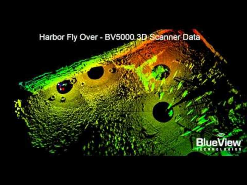
BV5000-1350 3D Acoustic Scanner Imagery of Harbor in Norway 3D Mosaic was created from 5 tripod scans of harbor bottom. Registration was completed using Leica Geosystems Cyclone without any navigation inputs
Teledyne BlueView
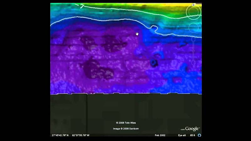
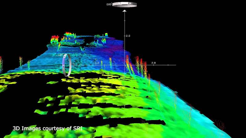
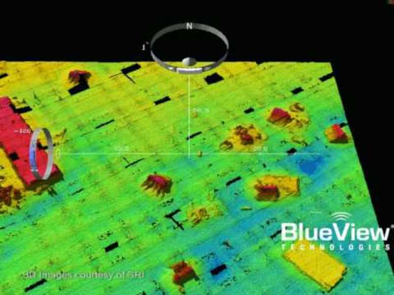
BlueView MB1350 barge
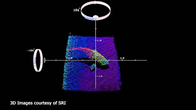
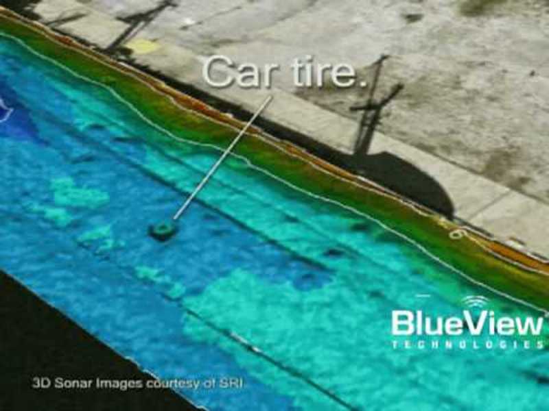
MicroBathymetry of a sunken barge, collected by the BlueView MB1350 3D imaging sonar. 3D sonar images courtesy of SRI.
Teledyne BlueView
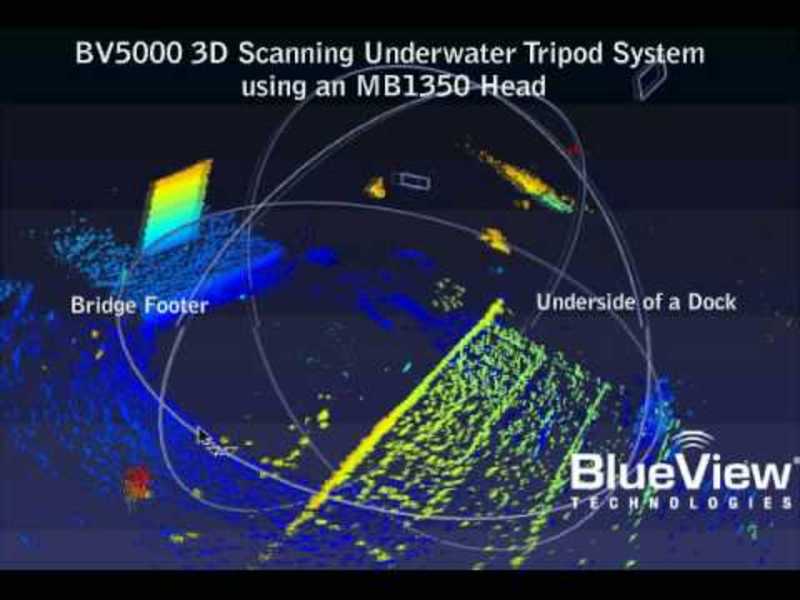
BlueView MB1350 Bridge Footer
A BV-5000 tripod system rotational scan with the MB1350 head.
Teledyne BlueView
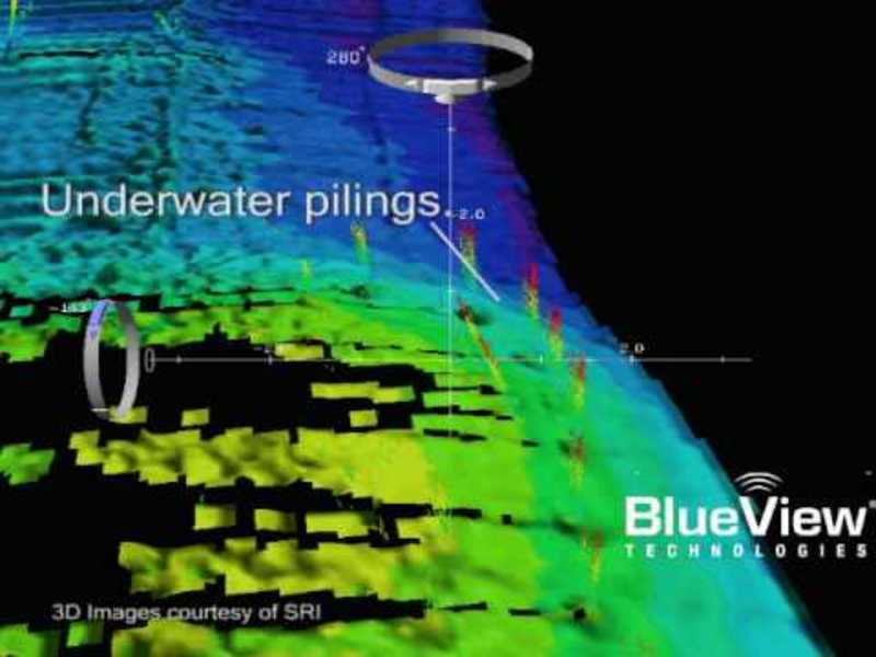
BlueView MB1350 AFB Dock
MicroBathymetry of pilings underneath a dock. Data collected by the BlueView MB1350 3D imaging sonar.
Teledyne BlueView
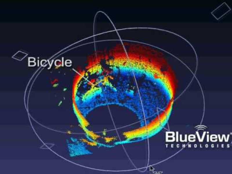
BlueView MB1350 Bicycle in tank
As seen by the BlueView MB1350 3D imaging sonar.
Teledyne BlueView
BlueView MB1350 Dock Floor 2
MicroBathymetry of debris underneath a dock. Data collected by the MB1350 3D imaging sonar.
Teledyne BlueView
BlueView P450 Pipe Survey.avi
BlueView P450 Pipe Survey.avi
Teledyne BlueView
BlueView P900-Small_Boat_on_Bottom.avi
Blueview Technology Demo
Teledyne BlueView
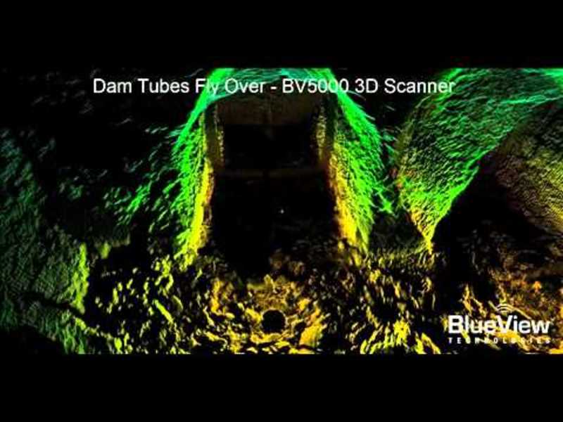
Dam Draft Tubes Flyby
The video clip utilizes actual 3D data gathered with the BV5000 to show the results of aninspection of an upriver dam’s outflow tubes. There were several unique aspects to thisproject, first the remote location of the dam limited access to the...


