
The Teledyne Marine Channel

TMTW - Teledyne Marine Presentations
Teledyne Marine Civil Engineering / River & Stream Monitoring Overview - TMTW17
Introduction to Teledyne Marine's Civil Engineering and River Stream Monitoring technology and capabilities, presented at TMTW17.


product presentations
Setting up your Oceanscience Q/Z boat 1250
This video gives some key instruction and important safety reminders for setting up and deploying your Q/Z-Boat 1250 for the first time

TMTW speakers
Why Would You Put a Multibeam Sonar on a Construction Barge?
Abstract: How can I use GPS – I need results in the field. I can't use RTK GPS because it's not accurate enough. Multibeam SONAR systems will never be affordable to anyone but government agencies. Why would you put a GPS unit on a bulldozer?...

product presentations
Introducing the New Teledyne Z-boat 1250
Teledyne Oceanscience Z-Boats® are the number one choice for reliable, remotely controlled, hydrographic surveying in streams, rivers, lakes, and coastal waters around the world. Whether you need to reduce survey time, keep people safe during...

TMTW speakers
Measurements for site description and response of farmed fish and equipment in highly exposed...
Abstract: The salmon farming industry in the Faroe Islands is currently utilizing some of the most exposed sites for aquaculture in the world. Up to now, waveheights of 5m Hsig and tidal currents 1m/s have been measured at the sites. To be...

TMTW speakers
Teledyne Multibeam and Dredge Guidance Hardware and Software for Use in Bridge Demolition
Abstract: A $4 Billion project in Tarrytown, New York to replace and demolish the Tappan Zee Bridge is utilizing many aspects of the Teledyne Dredge Guidance portfolio. Five excavators outfitted with Teledyne dredging software (PDS) will be...

TMTW speakers
Advanced Techniques for Rapidly Mapping 3D Spatial Velocities for Tidal Turbine Placement
Abstract: Join us as we uncover the first approved permanent Tidal Test Facility in the United States. RDI and WaterCube, LLC partnered up with the Marine Renewable Collaborative to participate in bringing together the latest technologies to...

TMTW - Teledyne Marine Presentations
Teledyne Marine Imaging Sonars, Bathymetry Sonars and Sub bottom Profilers - TMTW17
Introduction to Teledyne Marine's Acoustic Imaging technology and capabilities including Imaging Sonars, Bathymetry Sonars and Sub Bottom Profilers, presented at TMTW17.

TMTW speakers
Royal Canadian Navy SeaBotix and BlueView Simulation Including Common Operating Picture
Abstract: GRi was contracted by the Royal Canadian Navy to provide a total of six Teledyne Seabotix simulators with BlueView multibeam sonar across three national locations. The work scope included simulation of dual vehicle missions and a range...

TMTW speakers
Slocum Gliders in multidisciplinary studies on the Scotian Shelf and beyond
Abstract: The Ocean Tracking Network and the Marine Environmental Observation, Prediction and Response (MEOPAR) Network Centre of Excellence have jointly funded the Coastal Environmental Observation Technology and Research (CEOTR) glider...

TMTW speakers
Using Teledyne PDS Software for Pile Driving Applications
Presenter: Trevor Yocum Measutronics Abstract: Teledyne PDS software can be used for a variety of marine applications, both in construction and hydrographic surveying. This presentation will focus on a relatively new feature for the Teledyne...


TMTW speakers
Use of Acoustic Techniques for the Determination of Net Sediment Transport and Design of Safe...
Presenter: David Williams Australian Institute of Marine Science Abstract The Marine Supply Base channel in Darwin Harbour, Northern Territory Australia provides access to berthing and loading at East Arm wharf for vessels that support the...

Teledyne PDS
Teledyne PDS Construction - Pile Driving application setup
This movie demonstrates the Teledyne PDS Pile Driving application. It shows the project setup, the used views, the pile data file and the workflow for a PDS pile driving project. If you have any comment / question / remark about the video content...

TMTW speakers
Multi-Modal Autonomous Exploration of Ice-Ocean Interactions at an Antarctic Ice Shelf Front
Presenter: Alexander Forrest University of California - Davis Abstract: Predicting the response of the ice-ocean system is becoming increasingly critical in an era where climate change is leading to ever more common mass wasting events of ice...

product presentations
Teledyne Gavia - Use of the Teledyne Gavia AUV
This video shows the launch, piloting and recovery of a Teledyne Gavia Autonomous Underwater Vehicle (AUV) THE GAVIA AUTONOMOUS UNDERWATER VEHICLE (AUV) is a self-contained, low logistics, modular survey platform capable of delivering high...

TMTW speakers
Perspectives on the State of Ocean Science
Keynote presentation by Margaret Leinen The value and role of ocean science and innovation increasingly has been the focus of both international and domestic forums on climate science, sustainability, and defense. Now in its second century of...

product presentations
Teledyne Gavia - System Setup
Video shows the set up for a Teledyne Gavia AUV.

TMTW speakers
The Next Great Odyssey of Human Endeavour Exploring the Deep Ocean
Keynote presentation by Oliver Steeds Humankind is poised to make the next giant leap – into the deep ocean. We now have the technology available to us to discover more of our planet in the next 10 years than we have in the last 100,000....

Seismic
Marine Seismic Vibrator
As part of a Joint Industry Project (JIP), Teledyne Marine is developing of a 5 – 100 Hz Marine Vibrator for the marine seismic industry. The Teledyne source is a Bubble Source which utilizes low pressure air vibrated within a flexible membrane to...
Video white papers
Applications of Sonar Software Tools for Security and Defense
Applications of Sonar Software Tools for Security and Defense: Mosaicking for Hull Inspection, Non‐GPS Navigation, and a Low‐Cost Bathymetry Tool. By: Arjuna Balasuriya, Charles River Analytics Teledyne marine sensors provide data that is...

Seismic
High Shock Video
Teledyne AG Geophysical Products supplies the world’s marine seismic fleet with the highest quality submersible connectors and marine seismic source management components and systems. Engineered to function in repetitive high shock...

Teledyne PDS
Advanced Vessel Configuration - Excavator on a pontoon
This movie demonstrates the Vessel Configuration of an excavator and a pontoon. The Vessel Configuration is part of the configuration. From the Vessel configuration is a vessel managed in this example an excavator and a pontoon. It is possible to...

Oil and Gas
Offshore Oil and Gas Applications provided by Teledyne Marine
Teledyne Marine offers a wide range of underwater solutions for the oil and gas industry, from exploration through production. The five technology platforms, Instruments, Vehicles, Interconnect, Imaging, and Seismic can complement one another in...
Video white papers
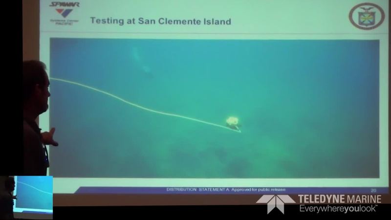
Vehicle-Borne Sonar for Unmanned Harbor Security
Presenter: Thomas Pastore, SPAWAR SSC Pacific has led the development of a two-vehicle unmanned system for the purpose of inspection and identification of underwater threats in ports and harbors. The system consists of a 4-meter catamaran...

Teledyne PDS
NEW - Vessel Configuration
This movie demonstrates the Teledyne PDS Vessel Configuration for a general survey. The Vessel Configuration is part of the configuration. From the Vessel configuration is a vessel managed. If you have any comment / question / remark about the...

Imported from Teledyne Marine
Teledyne Marine Oil & Gas Applications for the Life of the Field
Teledyne Marine provides highly reliable, innovative solutions for offshore oil and gas fields, from exploration to production and beyond.
RESON data
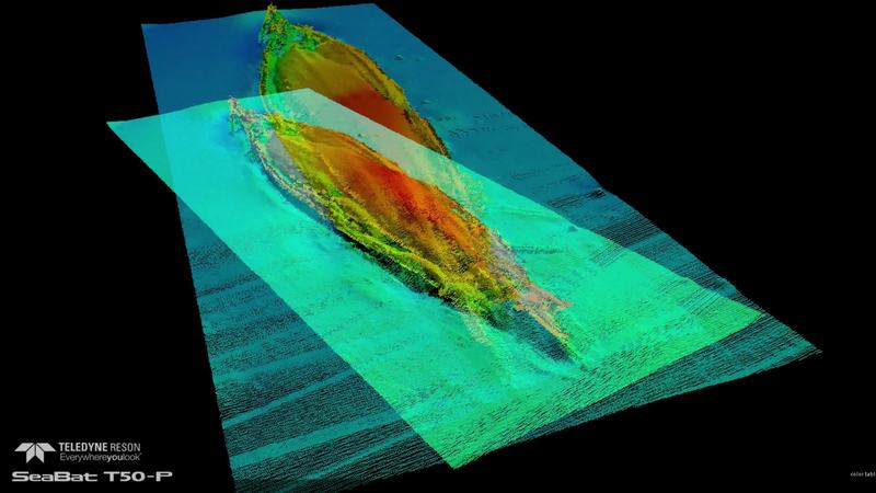
Data images from the Multibeam Survey of the HMS Hampshire wreck site
Earlier this year Teledyne RESON was invited by Seatronics to assist with the mapping of HMS Hampshire. HMS Hampshire sank on the 5th June 1916 when she struck a mine laid by German U-Boat U75. The wreck is located in approximately 60 meters of...
Video white papers
TMTW 2015: NOAA’s Recent Field Testing of the Teledyne RDI Sentinel V ADCP
NOAA’s Recent Field Testing of the Teledyne RDI Sentinel V ADCP Presenter: Nathan Holcomb NOAA The National Oceanic and Atmospheric Administration’s (NOAA) Center for Operational Oceanographic Products and Services (CO-OPS) currently...
Video white papers
TMTW 2015: Three Month Continuous Measurement of Waves off the West Coast of Ireland During the...
Three Month Continuous Measurement of Waves off the West Coast of Ireland During the Winter of 2015 University College Dublin Presenter: Frederic Dias University College Dublin The WAVEMEASUREMENT project is linked to the ERC Advanced...

Teledyne Marine Webinars
Teledyne RD Instruments: Sentinel V ADCP Case Study #1
A true-life adventure of sentinel V s/n 21916 that took a “walk about” in the most remote islands in the world 26 Oct 2015- 15 Jan 2016. A Sentinel V was deployed by University of Hawaii to study the "da" big waves" off the famous North Shore of...

Teledyne Marine Webinars
Teledyne RD Instruments: Ocean Surveyor ADCP Case Study #2
A story about the JAMSTEC research vessel Kaiyo and its unique find using an Ocean Surveyor 38 kHz in the South pacific. Presented by: Darryl Symonds, Teledyne RD Instruments

product presentations
Teledyne Webb Research Slocum Glider Tribute 2017
A tribute to Doug Webb, inventor of the Slocum glider, and all of the customers who have made the Slocum Glider a success

product presentations
Teledyne RESON T-Series
Introducing new ways to help you expand your business The SeaBat T-series helps you to meet survey requirements, develop a greater capacity for taking on new project opportunities and maximize your business potential. Highly customizable and...
RESON data
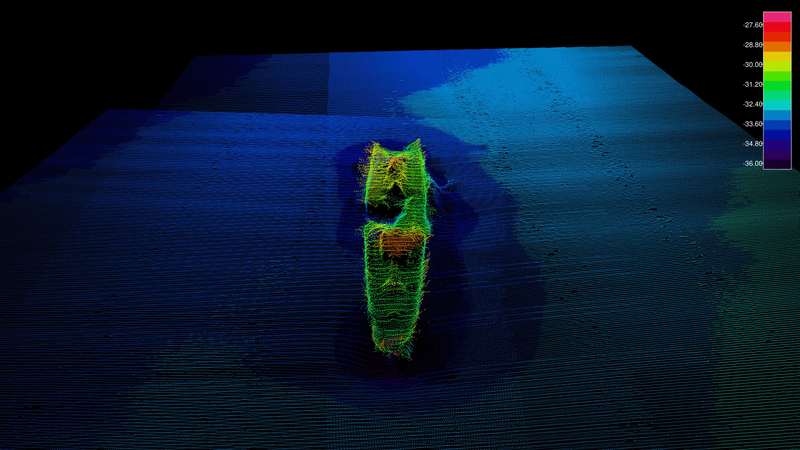
Myrtle
The gunnery ship-minesweeper Myrtle was built in England in 1915. The ship arrived to Estonia during the days of the War of Independence as part of the British squadron. The ship was sweeping the German mine barriers from the sea routes. Myrtle...
RESON data
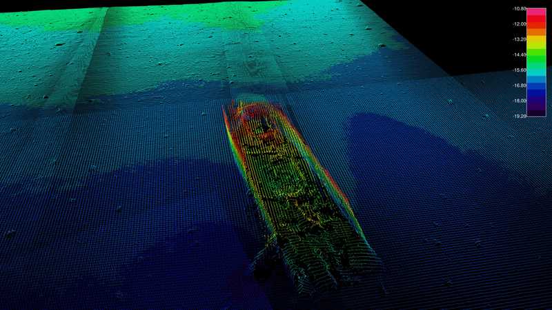
Krimulda
Latvian steamer, built in England in 1899. Hit a mine on 30 June 1941 and foundered. Five people lost their lives. http://register.muinas.ee/public.php?menuID=en_wreckregistryaction=viewid=1250 Krimulda was surveyed with a Teledyne RESON SeaBat...
RESON data
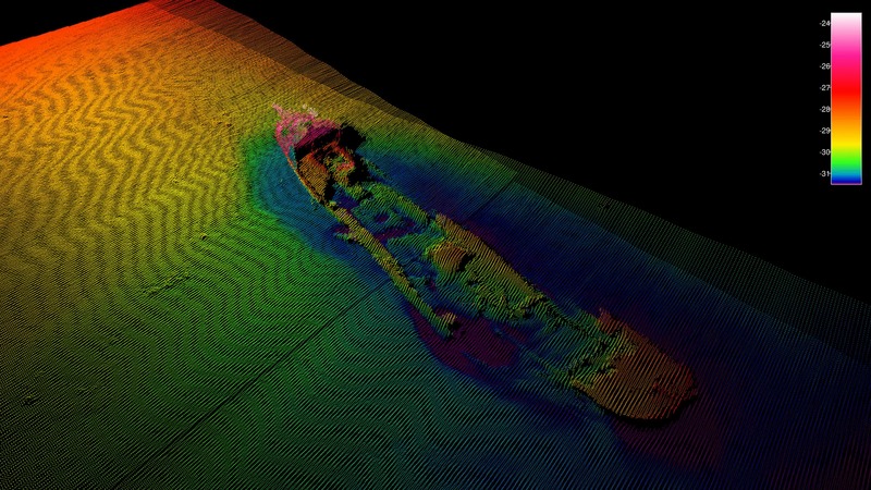
Dago
The steamship Dago was built in England in 1912 as a cargo ship. The ship was taken into use by the Russian navy during WWI, and was rebuilt as an armed minesweeper carrying the bow number 4. Dago was anchored West of Osmussaar island on 23...
Contest
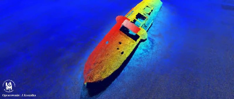
Wreck minesweeper Delfin
Where was the image taken / the data collected ?: Baltic Gulf of Puck When was image taken / the data collected ? : 2015-06-23 Which Teledyne Equipment is used ?: mbes 7125 Which processing software was used ? -Only data images and videos: QPS...

Case stories
High resolution structural inspection of flooded tunnel
High resolution structural inspection of flooded tunnel using BlueView T2250 360° Multibeam Profiling Sonar and Teledyne PDS.

Teledyne PDS
NEW - Time Series in a coffee break
This movie gives a short explanation of the time series view in the PDS Realtime and Processing utility. Download a free trial version of PDS at: http://www.teledyne-pds.com/product/teledyne-pds-4-0-64-bit-download-evaluation/
Teledyne BlueView
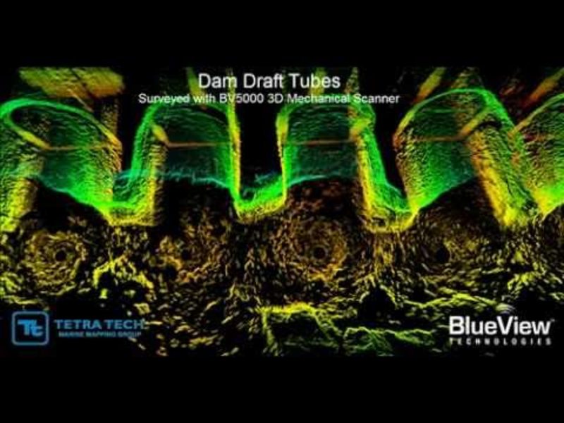
DAM OUTFLOW TUBES INSPECTION
Underwater infrastructures worldwide need to be inspected regularly for problems caused by corrosion, scour, undercut, impact damage and debris. Diving engineers will typically inspect these structures visually when water conditions allow, and by...
Teledyne BlueView
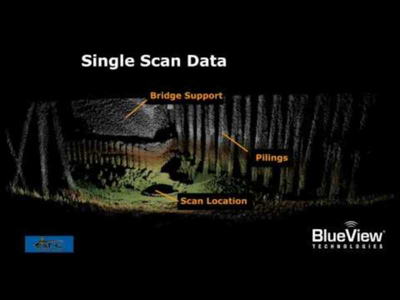
BlueView Arc 3D Bridge Inspection
The data for this bridge inpsection was collected from a tripod deployed BV5000 system from a small boat. Scans were conducted at 3 adjacent locations to provide the final large arae data set delivered to the client. Quote: John F. Sawyer, Vice...
Teledyne BlueView
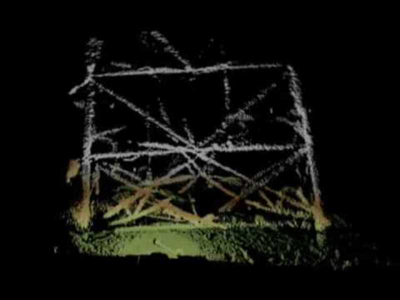
BlueView BV5000 Underwater Inspection of an Oil Platform
3D Rig VisualizationThis sonar imagery was taken as part of an offshore oil rig decommissioning project. The unique aspect of this job was that other than the 3D mechanical scanning sonar and ROV, no other survey sensors or equipment was used to...
Teledyne BlueView
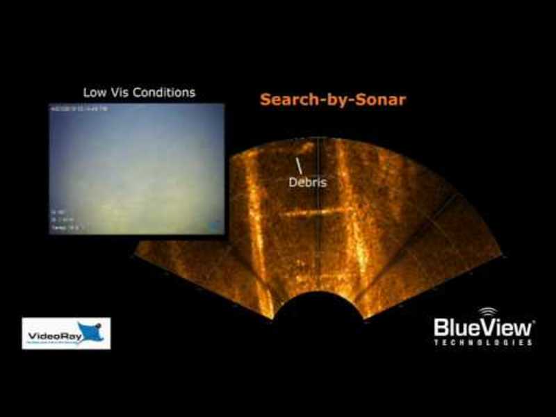
ROV Based Culvert Inspection
Modern Solution for a Tough JobIn many parts of the world, particularly near large bodies of water, culverts make up a large portion of a city's waterway infrastructure These culverts are responsible for safely moving water under and around other...
Teledyne BlueView
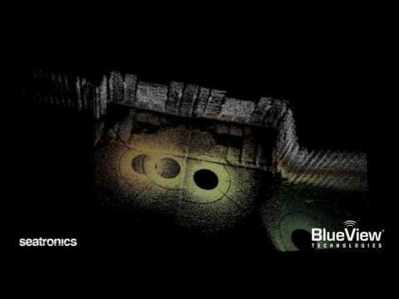
BlueView 3D Scan Drydock Gate
3D Inspections and SurveysThis 3D sonar imagery was taken during a hands-on demo held by BlueView and Seatronics in Aberdeen, Scotland. The high resolution imagery shows the advantages of the BV5000 when used as an inspection/survey aid. In this...

bowtech video examples
Surveyor HD Pro
Bowtech Products Ltd Surveyor-HD-Pro high definition underwater camera, HD 1080i/50, footage captured at The Underwater Centre, Fort William

Case stories
Monitoring Basking Sharks in the waters of Coll in the Inner Hebrides of Scotland
Biologists from Aberdeen University wanted to find out if sonar equipment could be used to learn more about the movements of basking sharks. Most of the current knowledge about basking sharks is based on what is visible at the surface and, as...

Teledyne PDS
Multibeam Filters
This movie demonstrates the use of multibeam filters in PDS, the multibeam filters offered by PDS and the Area filter. Download a free trail version of PDS at: http://www.teledyne-pds.com/product/teledyne-pds-4-0-64-bit-download-evaluation/
Teledyne BlueView
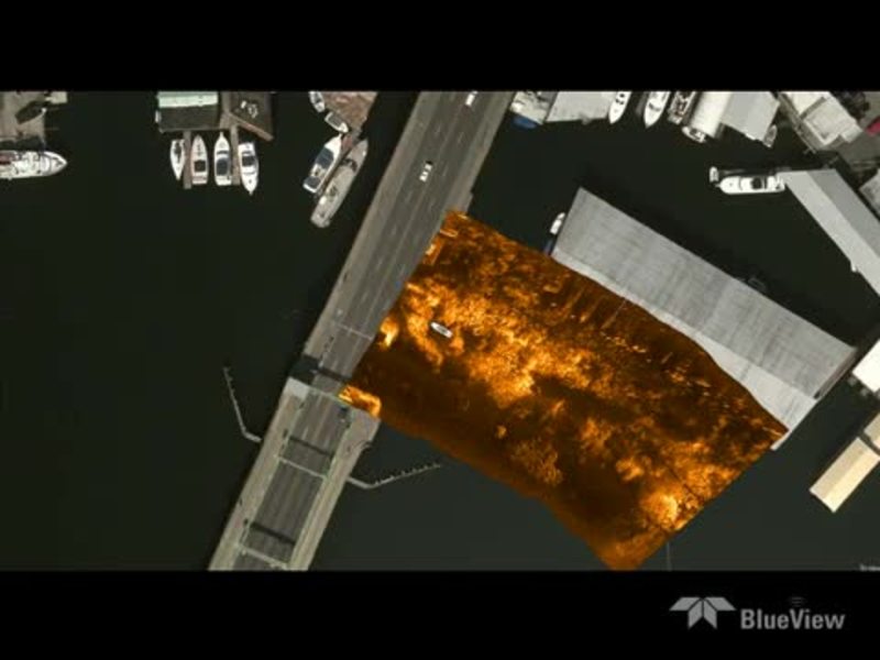
ProMapper Bridge
ProMapper is a geo-mosaicing software package that utilizes the BlueView 2D imaging sonar solution to create maps of areas imaged.
Teledyne BlueView
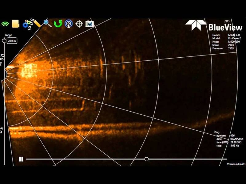
Using 2D sonar to conduct a bridge footer inspection.
Underwater infrastructures worldwide need to be inspected regularly for problems caused by corrosion, scour, undercut, impact damage and debris. Diving engineers will typically inspect these structures visually when water conditions allow, and by...
Teledyne BlueView
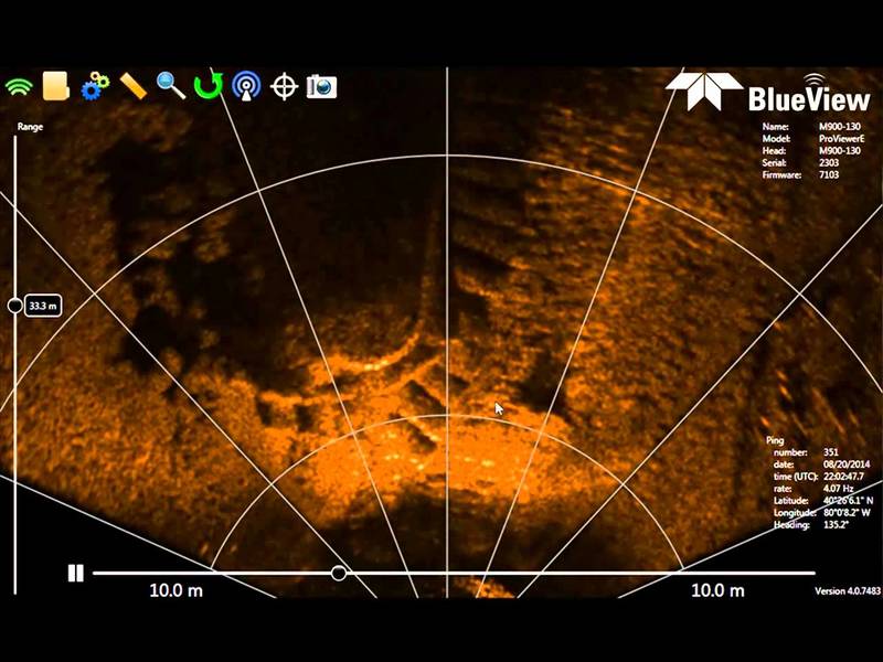
Post Construction 2D inspection
Teledyne BlueView's 2D Forward Looking Imaging Sonar used to image concrete mattress and sand bags on the river bed around a bridge footer to verify the placement is correct according to the contract. Underwater infrastructures worldwide need to...
Teledyne BlueView
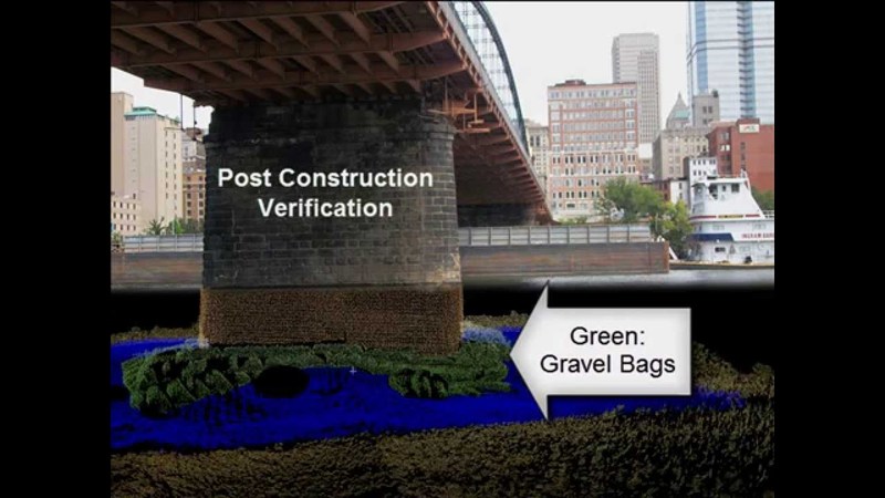
Post construction verification
3D underwater imaging is used frequently to verify construction projects are completed to specification in low to zero visibility conditions. Underwater infrastructures worldwide need to be inspected regularly for problems caused by corrosion,...
Teledyne BlueView
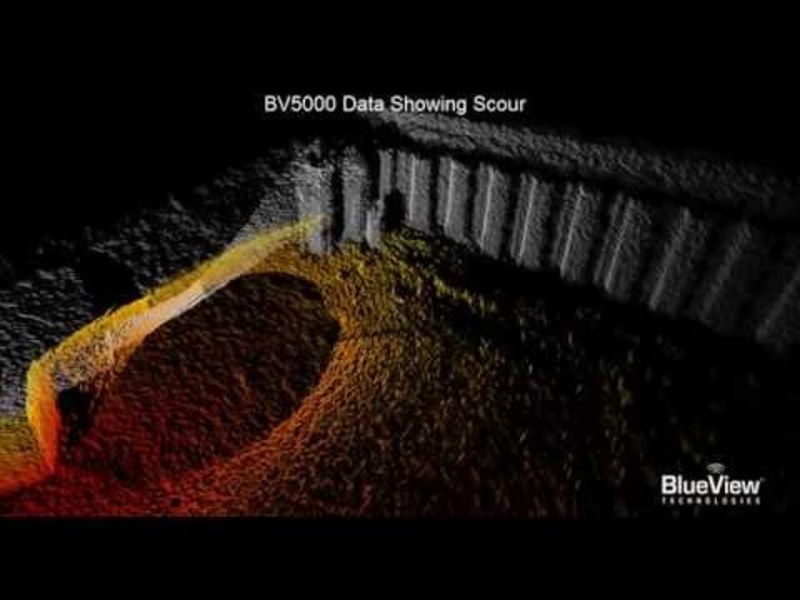
3D Multibeam Scanning Sonar Lock Undercut
Seen: Lock and dam undercut inspection and evaluation for repair planning. Underwater infrastructures worldwide need to be inspected regularly for problems caused by corrosion, scour, undercut, impact damage and debris. Diving engineers will...
Teledyne BlueView
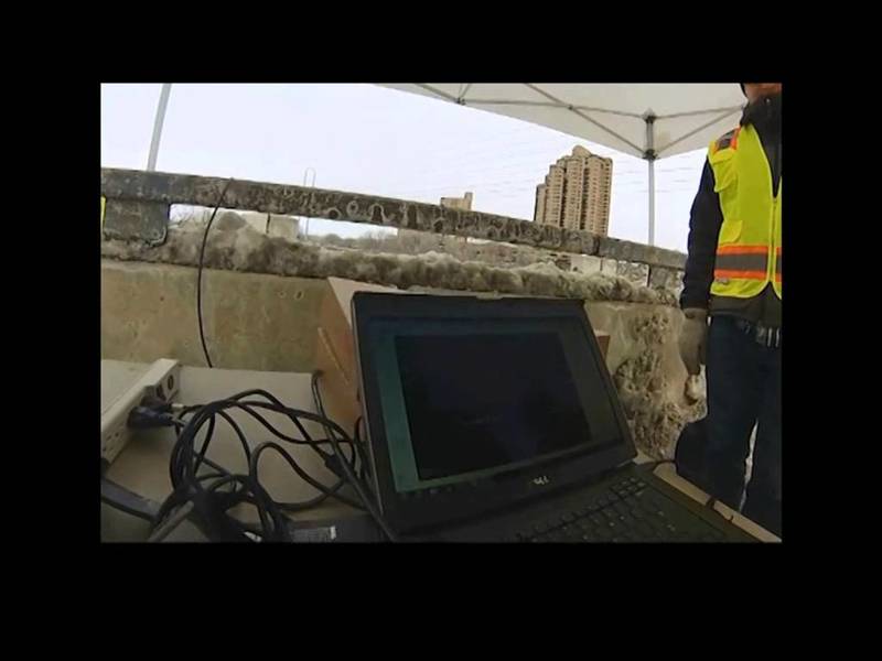
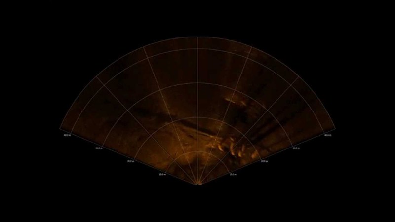
M900-130 Cable Free Span Inspection
Boat mounted M900-130 2D imaging sonar used to inspect communication cable crossing a channel.
Teledyne BlueView
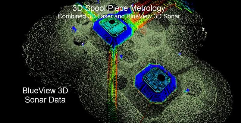
BlueView Spool Piece Metrology
This movie illustrates a novel new underwater measurement system that combines a new acoustic 3D scanning tool underwater combined with 3D scanning laser above water. Quick to deploy and accurate enough to calculate the required angular and range...
Teledyne BlueView
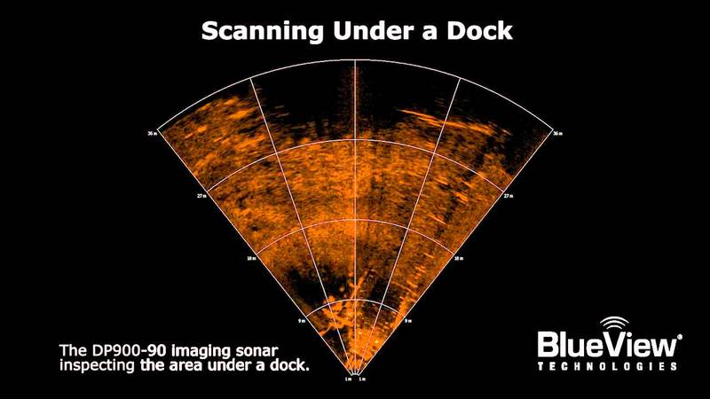
Inspecting under a dock
The BlueView DP900-90 imaging sonar inspecting underneath a dock.
Teledyne BlueView
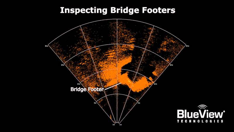
Inspecting Bridge Footers
The BlueView DP900-90 inspecting bridge footers.